The final day of LEJOG brought the following stats:
Miles: 54.2
Climbing: 2903 ft
Average Speed: 12.5 mph
Max Speed: 35.7 mph
Time Riding: 4 hr 19 mins
Total Duration: 5 hr 20 mins
Steepest Gradient: 11.6%
 |
| Berriedale Braes |
The final day of my LEJOG adventure was underway at 8:30, with just 55 miles to do before reaching the goal of this fantastic journey I was expecting a relatively easy day. This expectation was shattered within the first 4 miles with the climb from Helmsdale which totaled over 700ft. A brief respite was had until mile 8 where I reached the Berriedale Braes. Here the A9 drops sharply towards the village of Berriedale where it crosses the river and then climbs steeply through a number of switchbacks.
After the Braes the A9 and then the A99 would continue to offer short but challenging climbs all the way to John O'Groats. As well as the constant rise and fall of the road another constant was again a head wind, must have been between 10 - 15 mph. This kept the temperature low despite the glorious sunshine, requiring the use of 3 layers to stay warm. All this added to the relatively slow progress during the morning eventual arriving in Wick at noon.

After a brief refueling stop the final push was made to reach the ultimate destination. The final 13 miles seemed to take an eternity with yet more seemingly big climbs, in reality none were steep or hard but the legs after 13 days were spent.
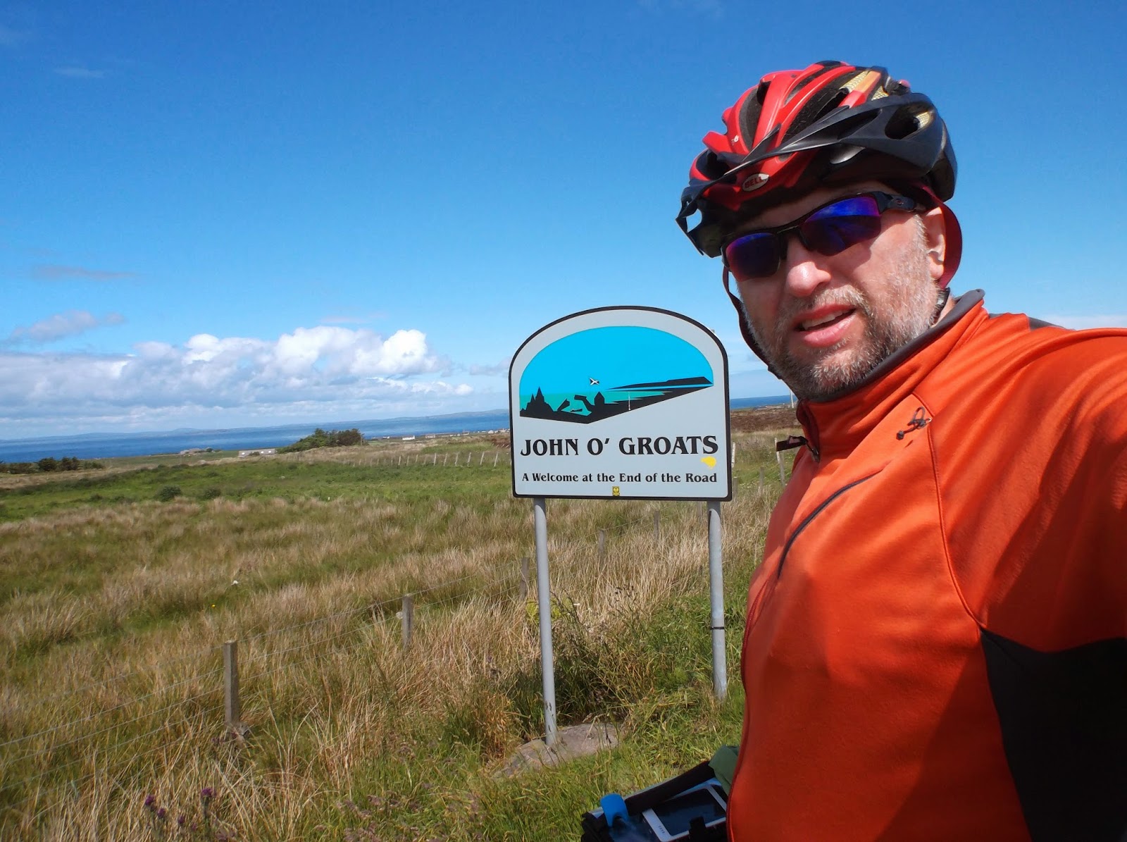
As I rode the final mile into John O'Groats, thankfully downhill, I felt jubilation at completing this adventure amazed that I had had the staying power to see it through to the end.
After the obligatory photos at the iconic sign, many thanks to the tourists who took the pictures, no need for yet another selfie, I headed over to café and had a celebratory beer followed by coffee and cake, where I chatted with another cyclist who had just finished LEJOG. He had taken slightly longer than me ( 5 years ) having broken the journey up, I had to admire his determination.
Once the celebrations subsided and the coffee and cake had been consumed I headed to my overnight accommodation in Thurso, a ride of 20 miles, thankfully with a tailwind this was probably the quickest 20 miles of the entire journey.
John O'Groats to Thurso Stats:
Miles: 20.7
Climbing: 728 ft
Average Speed: 15.5 mph
Max Speed: 30.2 mph
Time Riding: 1 hr 19 mins
Total Duration: 1 hr 47 mins
Steepest Gradient: 10.4%
Helmsdale to John O'Groats
John O'Groats to Thurso


.JPG)
 After leaving Dingwall I headed to the A9 and followed this for the majority of the ride as I headed to Helmsdale, with only short diversions into towns such as Tain when stopping for lunch.
  As you can see from the above picture I was wrapped up warm with the windbreaker, providing a relief from the cool headwind which helped keep the temperature in the mid 50's which gradually dropped the further north I traveled.
  As I approached Helmsdale I met a 64 year old gentleman who has been walking from Land's End to John O'Groats for almost 3 months, I had to admire his determination and staying power. Alas I didn't get his name but wished him safe travels as he was planning to finish in time for his birthday this coming Sunday.
 Feeling tired on arrival in Fort Augustus I stopped for a lengthy lunch break, enjoying fish and chips sat by the canal. After lunch the decision to be made was the climb up to General Wade's Military road and the fantastic views or stay on the A82 and travel along the west bank of Loch Ness. With the legs tired I opted for the A82, it was still a hard grind but that 1200ft climb was just not appealing.
  I made steady progress towards Inverness but as I reached the top of the Loch it started to rain, requiring the maiden donning of the wet weather gear. The rain only lasted for 15 - 20 minutes and by the time I reached Inverness it was sunny and dry.


 NCN 7 was a mixed bag for me and Norman, some of the trail is paved or crushed compacted gravel fine with 28mm tires but in places it was really only suitable for 32 or even 35mm tires. The upside of the trail though is it passes through some wonderful countryside providing for some great views.

 The A82 climbs up to Rannoch Moor at 1100ft, the climb is certainly worth it as the scenery is stunning. After crossing the moor the road drops back down to Loch Leven. It was on this descent that I encountered the first rain of this LEJOG, it hardly amounted to more than a brief shower not requiring me to done the wet weather gear.


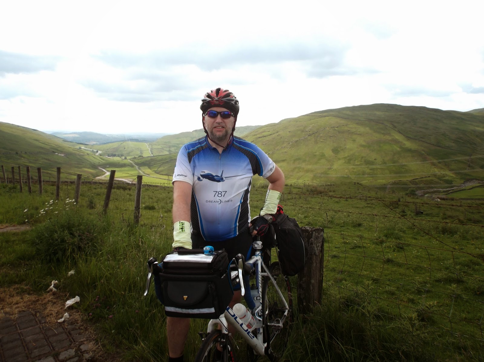
 Day 8 (Friday) started with very tired and sore legs, the worse they have felt on the entire journey. The aches soon eased as I threaded my way through Carlisle and onto the Scottish border at Gretna. Whilst relaxing and taking in the fact that I had ridden the length of England another couple of End to Enders joined me. We shared LEJOG stories before going our separate ways, them North West into Ayrshire and me North to South Lanarkshire.
.JPG)
.JPG)
.JPG)
.JPG)
.JPG)
.JPG)
.JPG)
.JPG)

 After leaving the canal I meandered along country lanes, avoiding the A6, making my way slowly to Kendal. Arriving there just before lunch I stocked up on provisions before the assault on Shap. The climb up to the summit of Shap from Kendal is 1200 feet. None of it is exceptionally steep , max grade 10%, but it is a long continuous climb. But the views on the way up, at the top and back down are worth it.